
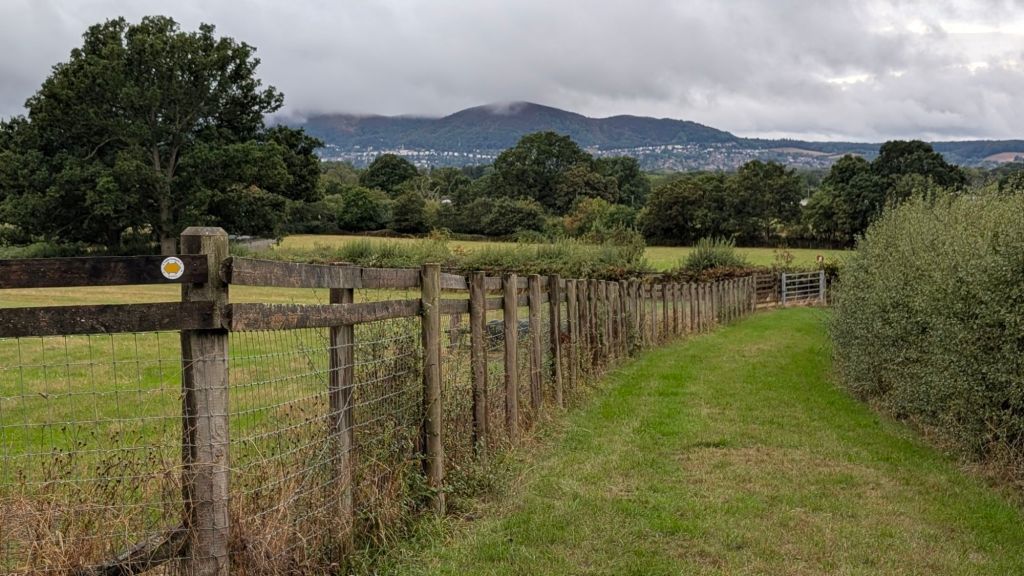
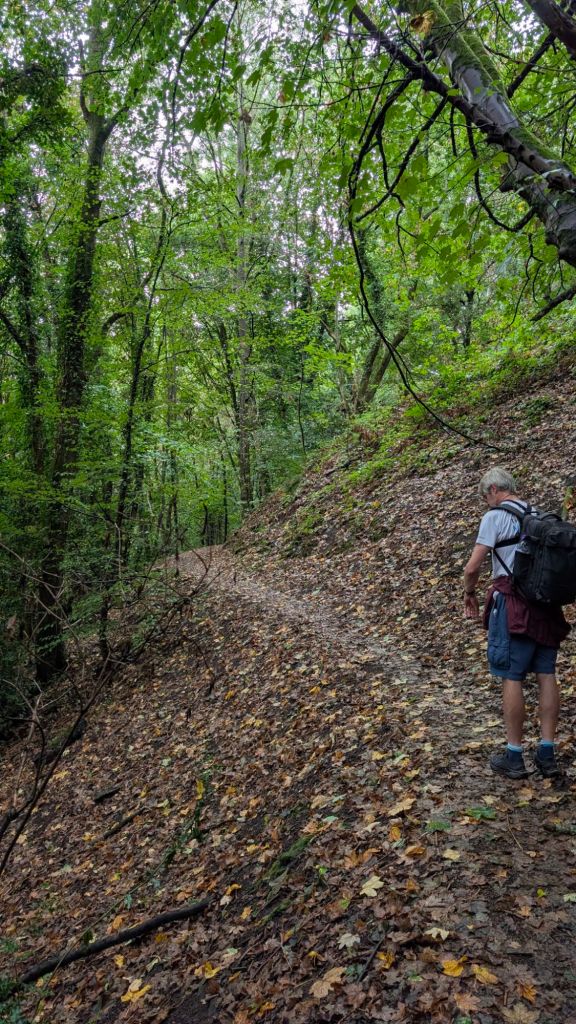
We left the beautiful Stanbrook Abbey hotel this morning in the rain, on well signposted, beautiful off road paths that showed us exactly the hills we were headed for.
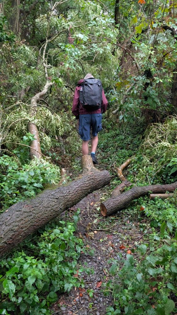
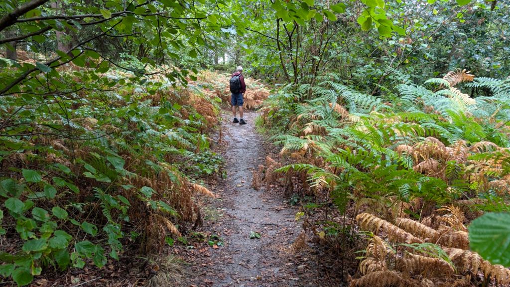
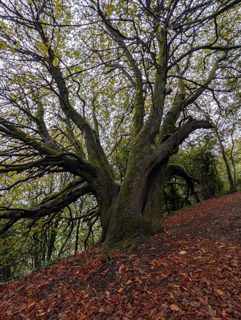
We dodged fallen trees; (no Strava hallucinations required); waded through bracken, now turning an autumnal, gold colour and wandered past impossibly pretty houses. Within the hour, the rain stopped. Today will be a breeze we thought.
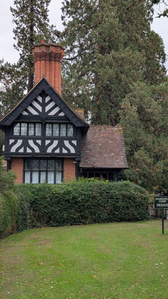
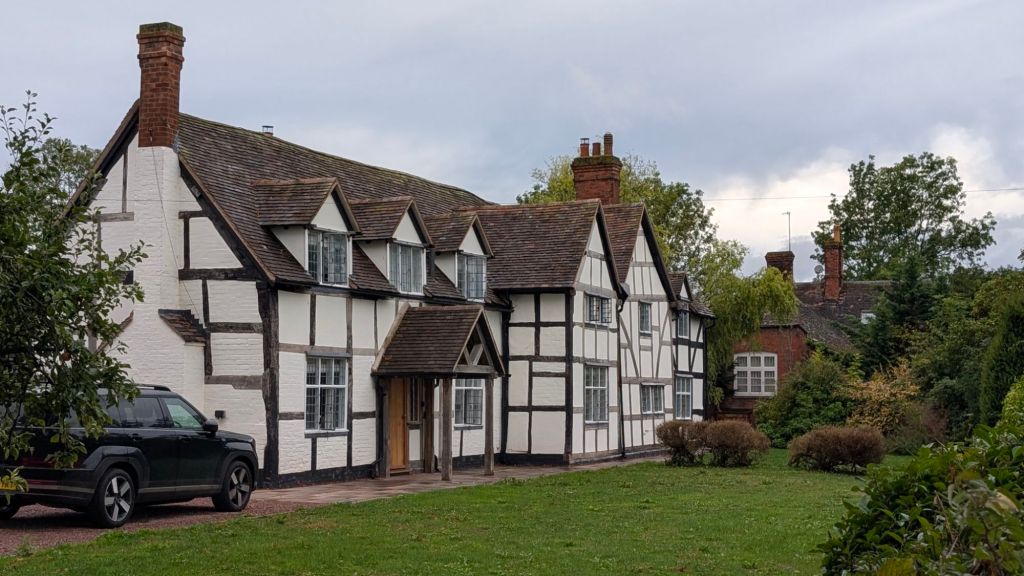
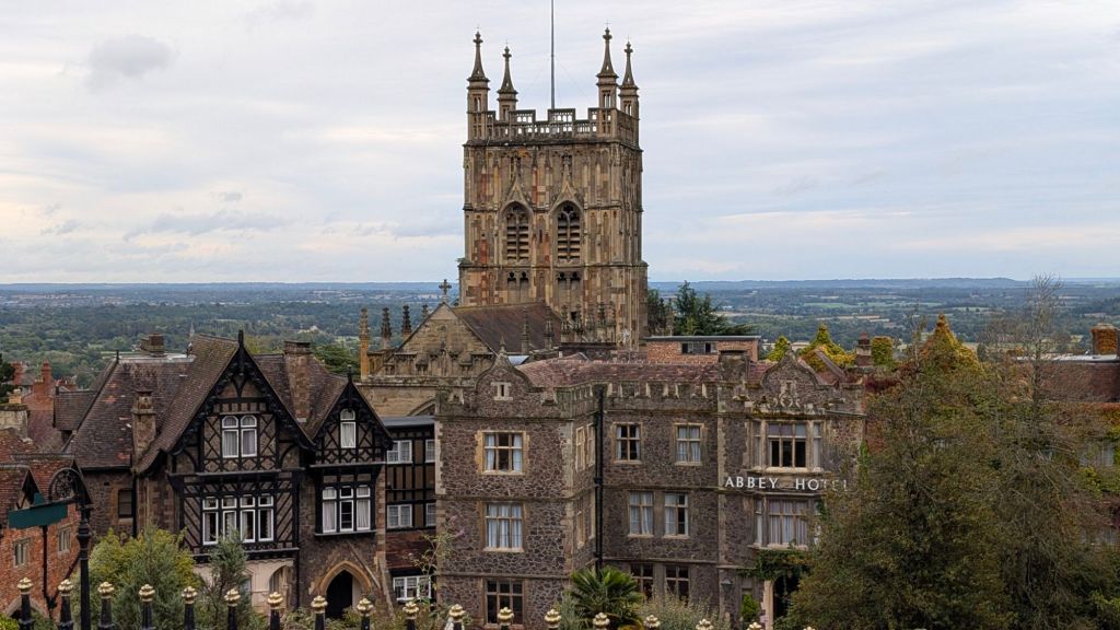
We then walked through the surprisingly pretty Malvern as well, perched on the side of the hills. We suspect there’s a mortgage line rather than a snow line as you climb increasingly higher in the town, with each house trying to outcompete the one below for a better view. At some point the banks must say, “stop, your house is going to slide down the vertical wall you are trying to attach it to, we are not financing this”.
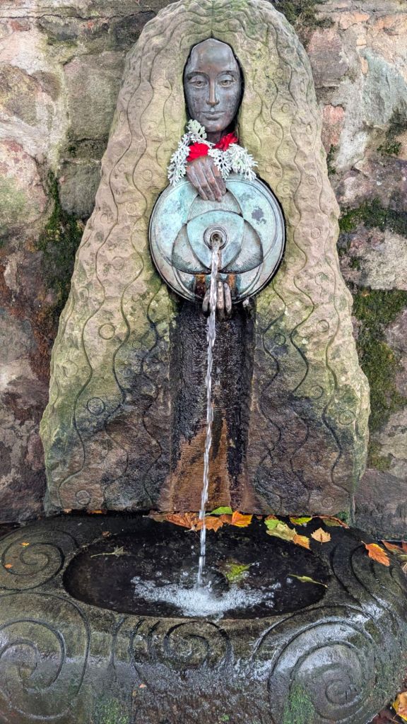
Malvern is not only famous for hills, but also spring water which is handily provided on tap in the town. So, bottle refilled, we headed into the hills.
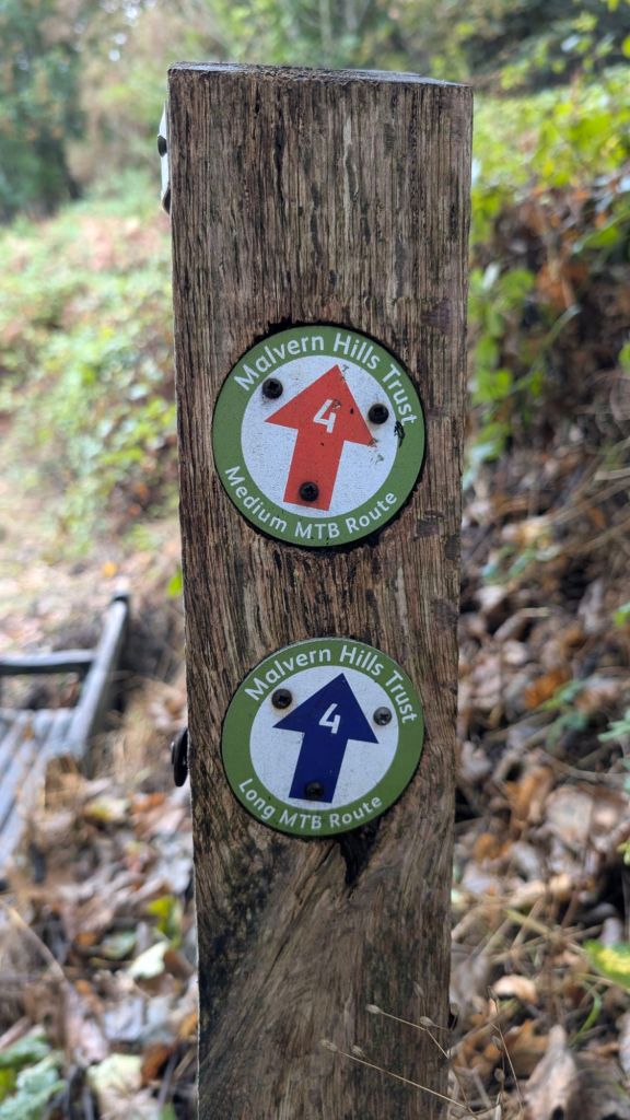
Despite the signs, there’s nothing “medium” about any of the routes from this point onwards.
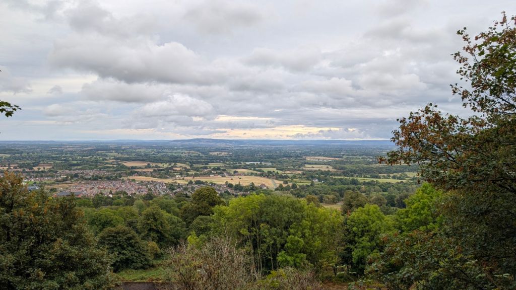
The views as we got higher were absolutely stunning, the photo does not do them justice. The dark line of hills on the horizon is the Cotswolds some 20 miles away.
We then got up close and personal with the ridge of hills, which provided us with a lot of sweeping, knee aching, downhill paths, only to be rewarded with some butt aching uphill afterwards. At one point the gradient reached 34.7%
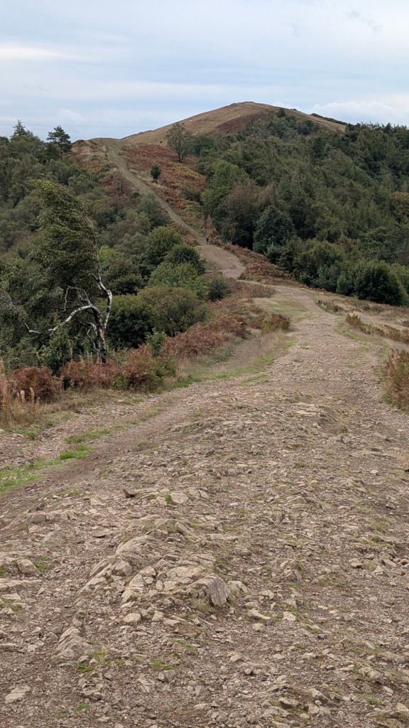
This continued for some significant number of kilometres, not least because some bright spark decided it would be “fun” to go to the top of British Camp, an iron age fort, previously visited over 40 years ago when he defied the teachers instructions not to roll down the hill with his mates. Again, how Mark has made it to adulthood without a severe disability, is a perpetual mystery.
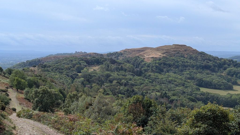
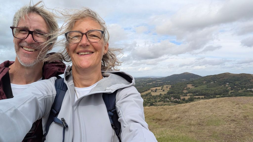
I’m not afraid to point about at this moment, that I have quite significant vertigo and paths back down the hill, like the one in the photo below, are frankly terrifying.
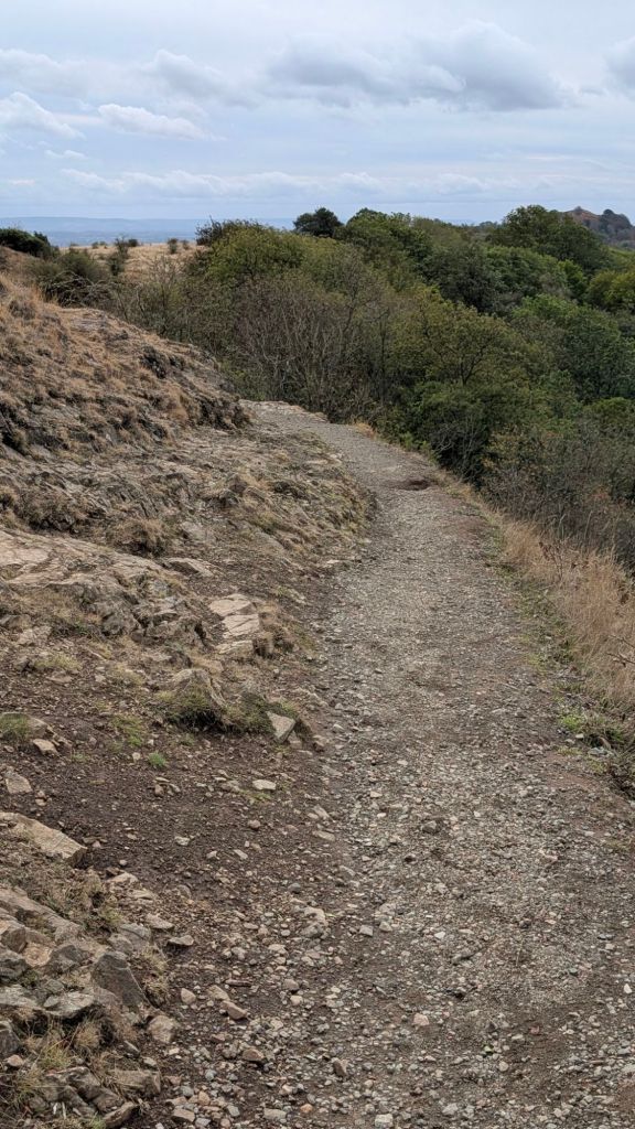
We had quite a long conversation about the link between my vertigo and my ADHD, resulting in an incredibly strong desire to throw not only myself, but also more strongly, my mobile phone, off every bridge I walk across as well. We discussed how I had hypnotherapy to get up the Sigirya Rock Fortress in Sri Lanka when I booked a “kid friendly” family holiday back in 2012 and whether I would do that again (the hypnotherapy that is, not necessarily the Sigirya Rock Fortress trip, which I would highly recommend). A colleague at the time pointed out that although it was very likely a kid friendly expedition, any adult with a healthy fear of heights was going to struggle. So I spent a few sessions on the couch trying to reason with my brain about whether it was rational to think I’m going to die on every tiny ledge I am faced with. It turns out that evolution has a strong pull on my neurons and I still think it is a bad idea to be up somewhere very high with very little space and no safety net. I did manage the Sigirya Rock Fortress spindly stairs up the side of a cliff in 2012, but the paths across the Malvern hills were equally fear inducing.
Anyway, feel the fear and do it anyway right? Mark helped by saying things like, “wow, look at that huge, high, pointy hill that’s even worse than the one we’re on, glad we’re not walking up there!” (that’s what I heard anyway) thereby alerting my already anxious brain to even steeper paths that I was even more terrified by. However, he did also hold my hand and walk really close to me, so he’s still a keeper.
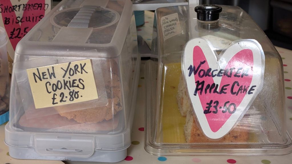
So we had definitely earned a snack as we got to the bottom of the hill, and a proper local one at that. New York is local to Worcester right?
We carried on walking past yet more impossibly pretty houses….
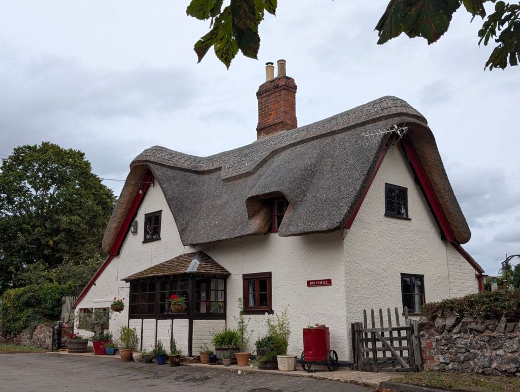
…..along beautiful wooded paths….
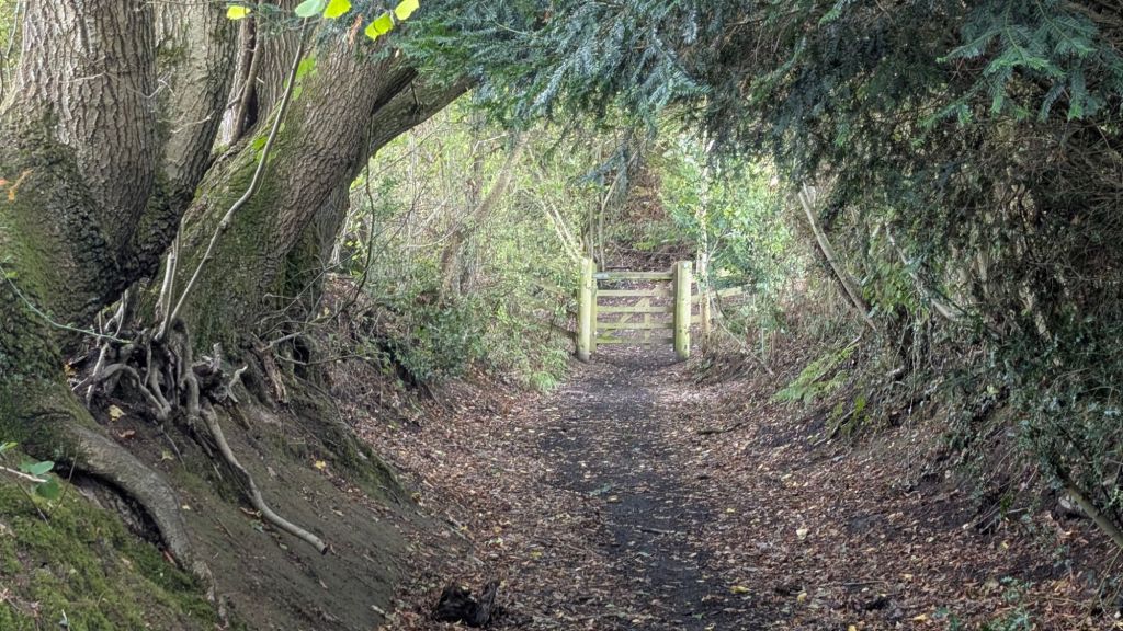
…..until we reached the market town of Newent,
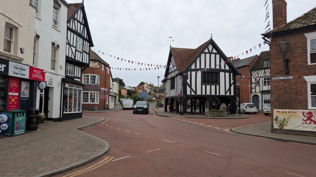
our bed for the night,
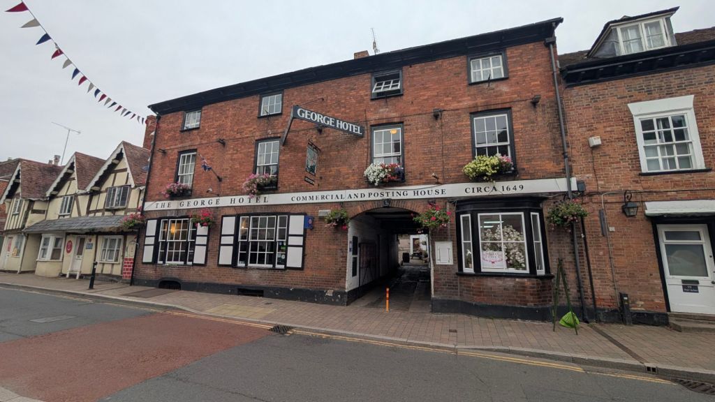
and supper that will ensure we sleep very well tonight (once “time” is called at the bar downstairs obviously), ready for pretty much the same Strava profile and experience tomorrow

Distance 35.km originally – a short cut we found at the start + Strava tax + Mark’s enthusiasm to climb more hills + car dodging for the last 5km = 36.21km.


I’m with you on the high narrow paths! Well done on achieving it. Are you monitoring your heart rate at different stages of the walk? xxx
LikeLike
my Oura ring tracks everything but given he number of times we are staying in the one pub/hotel in the village, and are kept awake til 11pm at least, I’m still tracking sleep more closely. I’m sure our heart rates were through the roof after the 34.7% gradient yesterday. My cardiovascular age is still 8.5 years younger than my actual age despite all the Scottish breakfasts and staying in a pub every night. Body temperature at night is another good one to track to see if I’m under the weather at all.
LikeLike